
Digital Surface Model (DSM)
Source: LiDAR
Spacial resolution: 50 cm
Radiometric Resolution: 8 bits;
Land use: forest
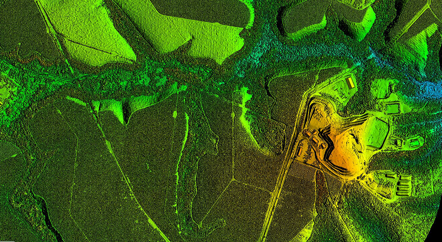
INTENSITY IMAGE (IIM)
Source: LiDAR
Spacial resolution: 50 cm
Radiometric Resolution: 8 bits;
Land use: forest

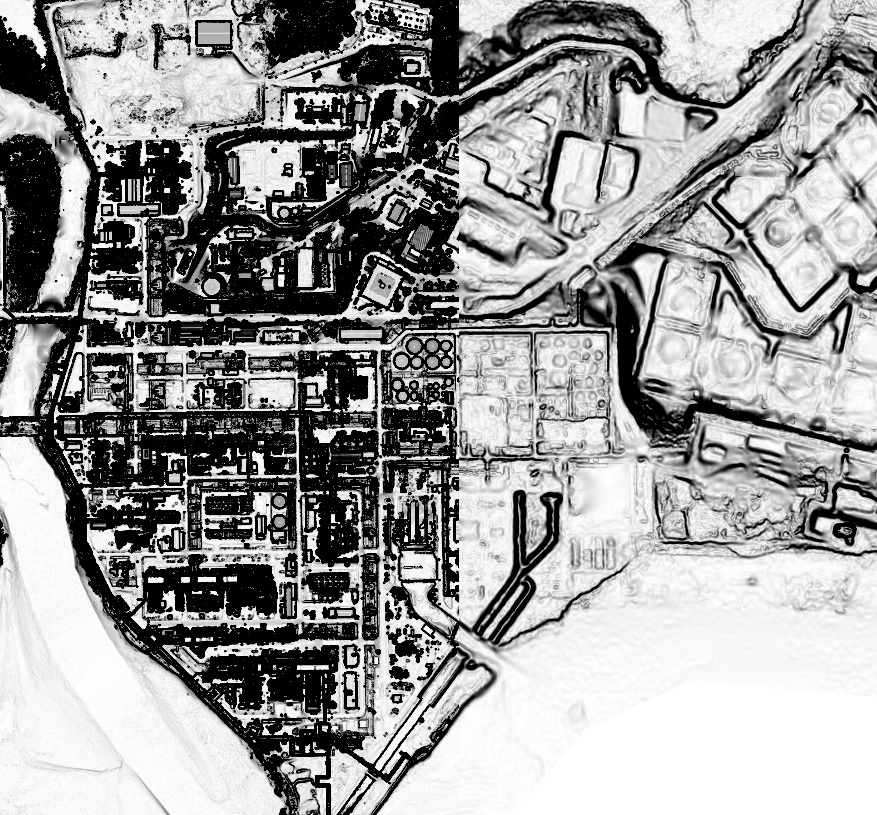
Digital Surface Model (DSM) Left + INTENSITY IMAGE (IIM) Right
Source: LiDAR
Spacial resolution: 50 cm
Radiometric Resolution: 8 bits;
Land use: urban (Unicamp)
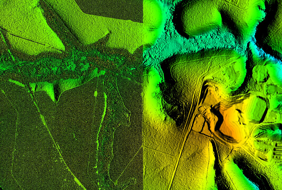
INTENSITY IMAGE (IIM)
Source: LiDAR
Spacial resolution: 50 cm
Radiometric Resolution: 8 bits;
Land use: urban (Unicamp)
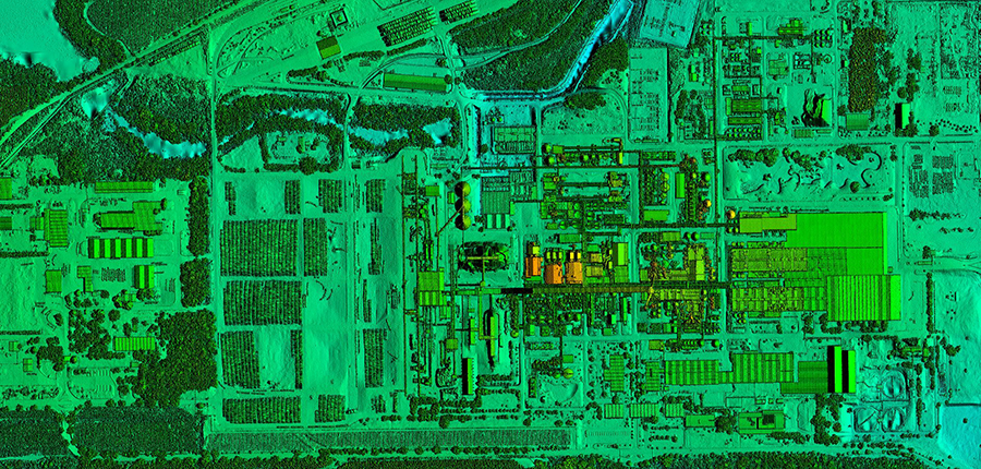
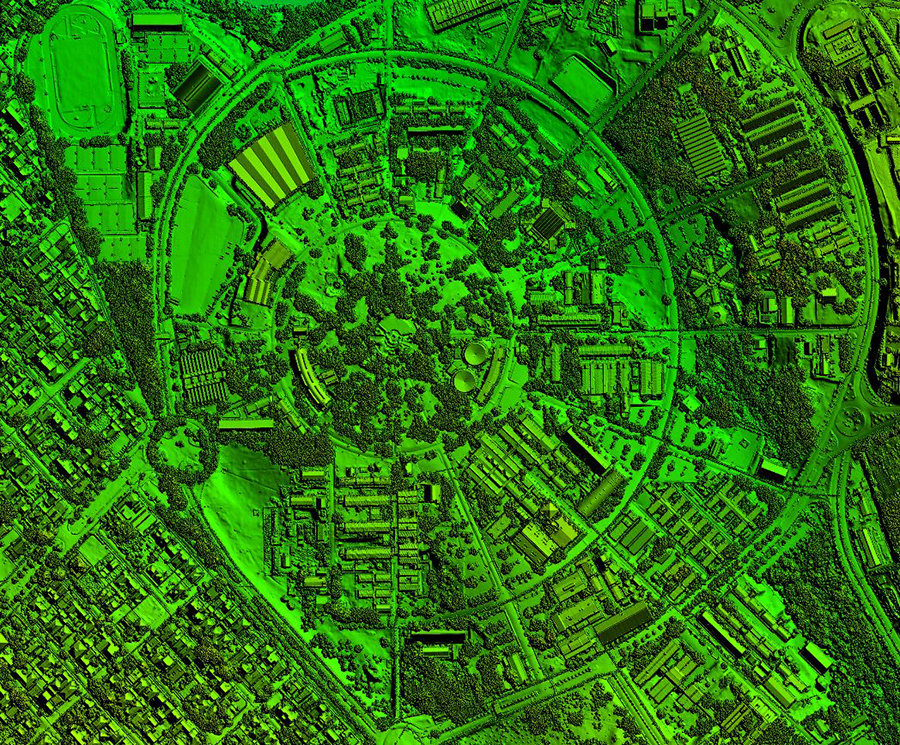
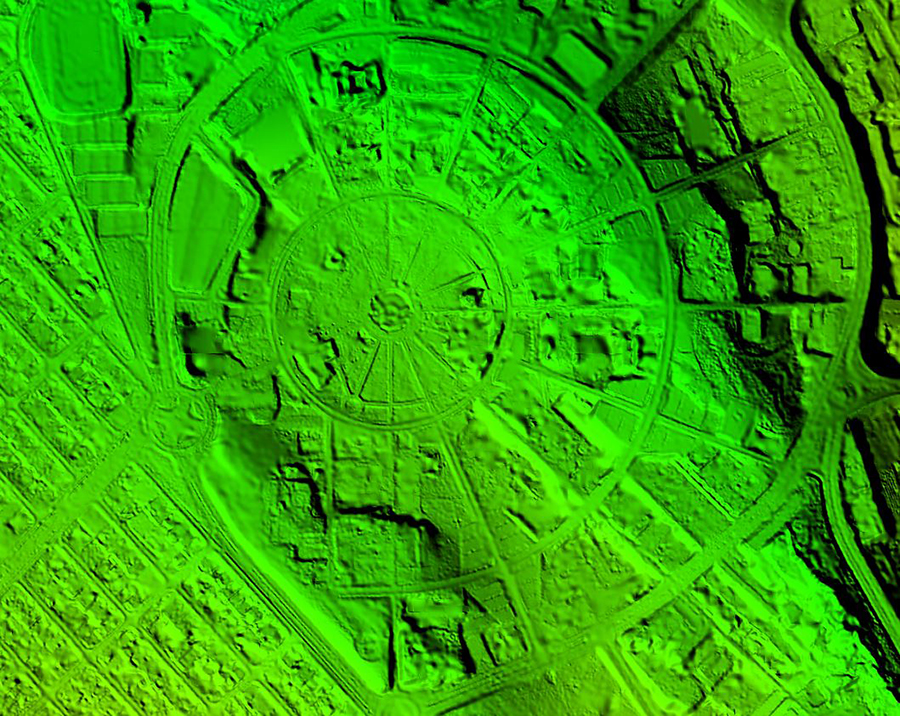
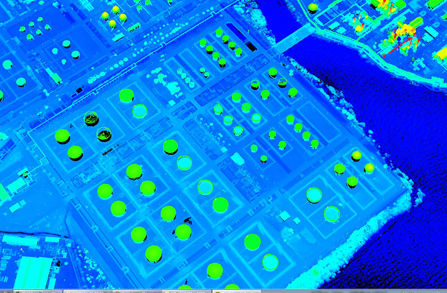
Digital Surface Model (DSM)
Source: LiDAR
Spacial resolution: 50 cm
Radiometric Resolution: 8 bits;
Land use: industry
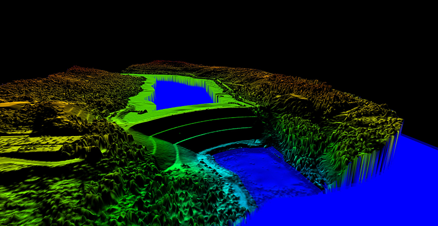
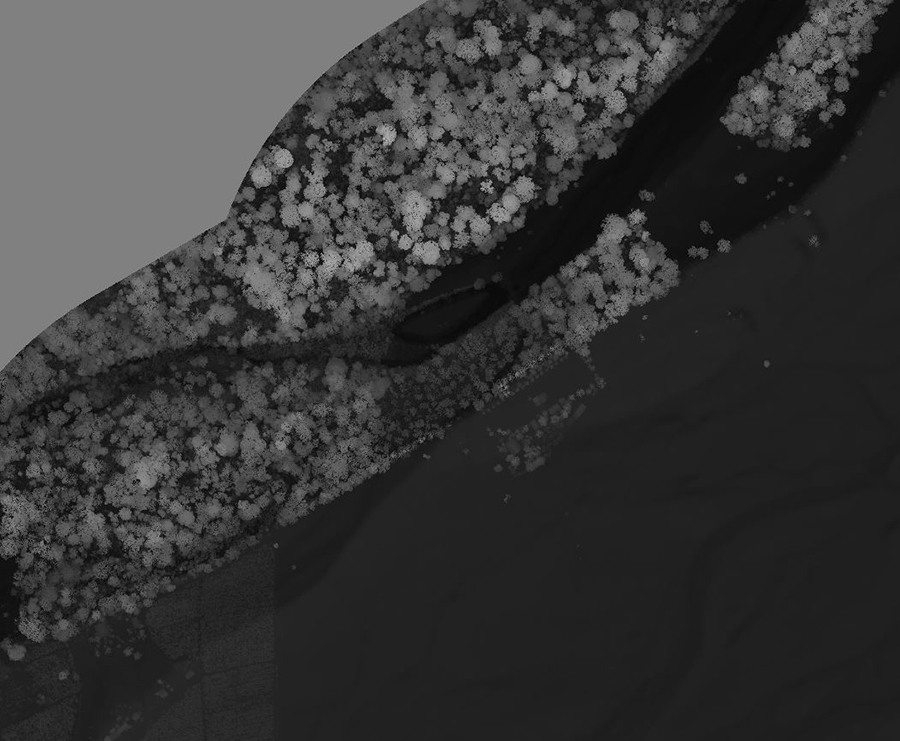
3D Digital Surface Model (3D DSM)
Source: LiDAR
Spacial resolution: 50 cm
Radiometric Resolution: 8 bits;
Land use: dam
Digital Surface Model (DSM)
Source: LiDAR
Spacial resolution: 50 cm
Radiometric Resolution: 8 bits;
Land use: forest
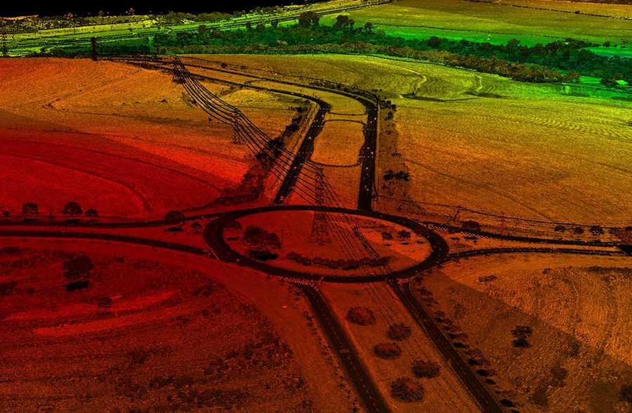
Digital Surface Model (DSM) Left + Digital Terrain Model (DTM) Right
Source: LiDAR
Spacial resolution: 50 cm
Radiometric Resolution: 8 bits;
Land use: industry
Digital Surface Model (DSM) Left + Digital Terrain Model (DTM) Right
Source: LiDAR
Spacial resolution: 50 cm
Radiometric Resolution: 8 bits;
Land use: forest
Shadow Digital Surface Model (DSM)
Source: LiDAR
Spacial resolution: 50 cm
Radiometric Resolution: 8 bits;
Land use: Urban (Unicamp)
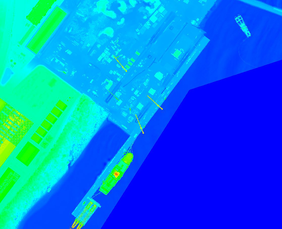
Digital Surface Model (DSM)
Source: LiDAR
Spacial resolution: 50 cm
Radiometric Resolution: 8 bits;
Land use: Urban (harbor)
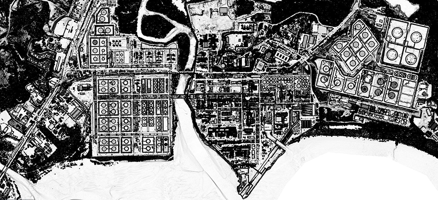
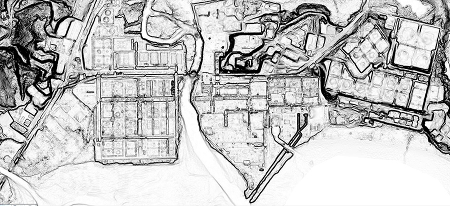
Digital Surface Model (DSM)
Source: LiDAR Spacial resolution: 50 cm Radiometric Resolution: 8 bits; Land use: industry
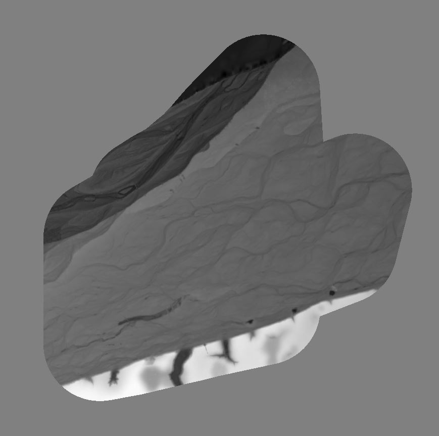
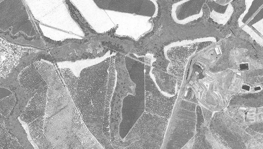
Digital Terrain Model (DTM)
Source: LiDAR
Spacial resolution: 50 cm
Radiometric Resolution: 8 bits;
Land Use: Industry

Digital Terrain Model (DTM)
Source: LiDAR
Spacial resolution: 50 cm
Radiometric Resolution: 8 bits;
Land Use: forest
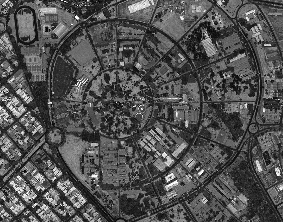
Digital Terrain Model (DTM)
Source: LiDAR
Spacial resolution: 50 cm
Radiometric Resolution: 8 bits;
Land Use: urban (unicamp)
Digital Terrain Model (DTM)
Source: LiDAR
Spacial resolution: 50 cm
Radiometric Resolution: 8 bits;
Land Use: industry
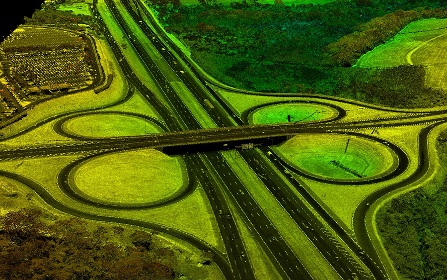
Colored Point Cloud (CPC)
Source: LiDAR
Density: 10p/m²
Land Use: urban (road)
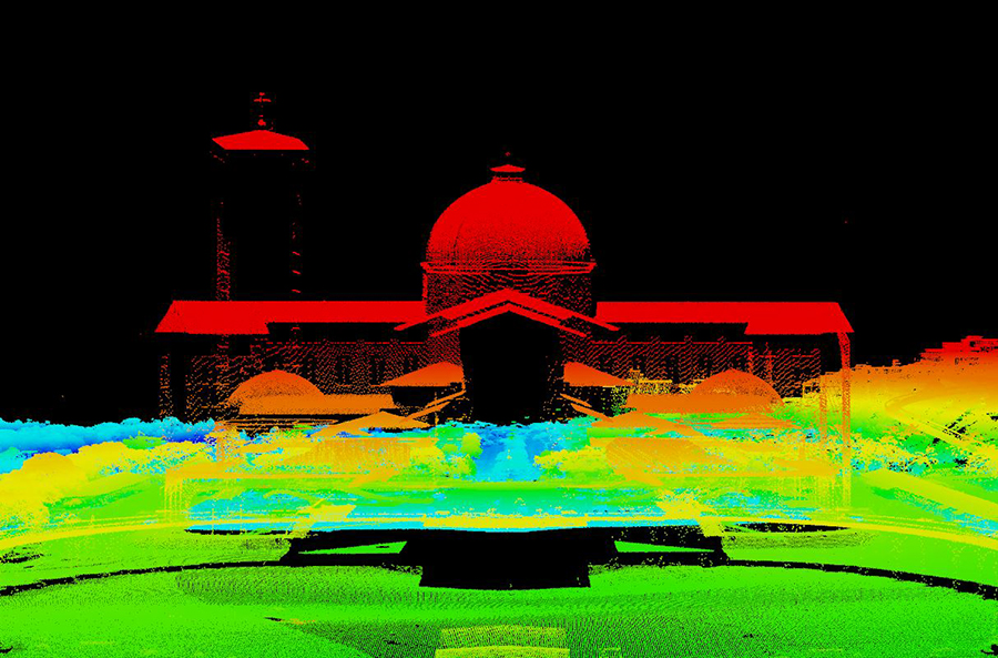
Cross-section Colored Point Cloud (CPC)
Source: LiDAR
Density: 10p/m²
Land Use: urban (aparecida cathedral)
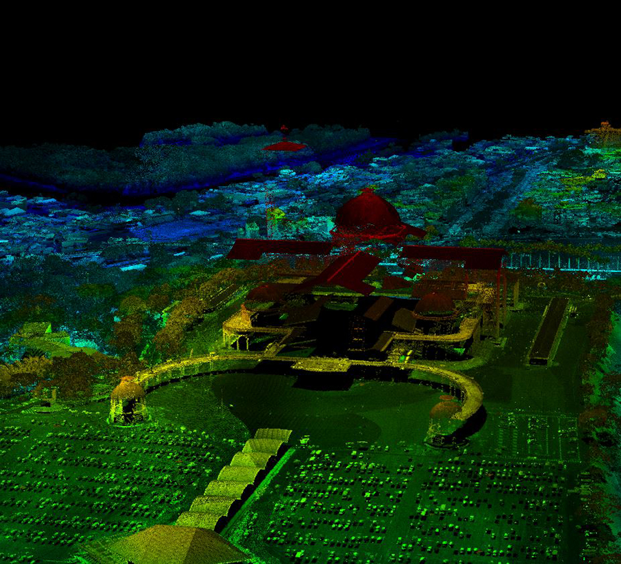
Oblique View Colored Point Cloud (CPC)
Source: LiDAR
Density: 10p/m²
Land Use: urban (aparecida cathedral)
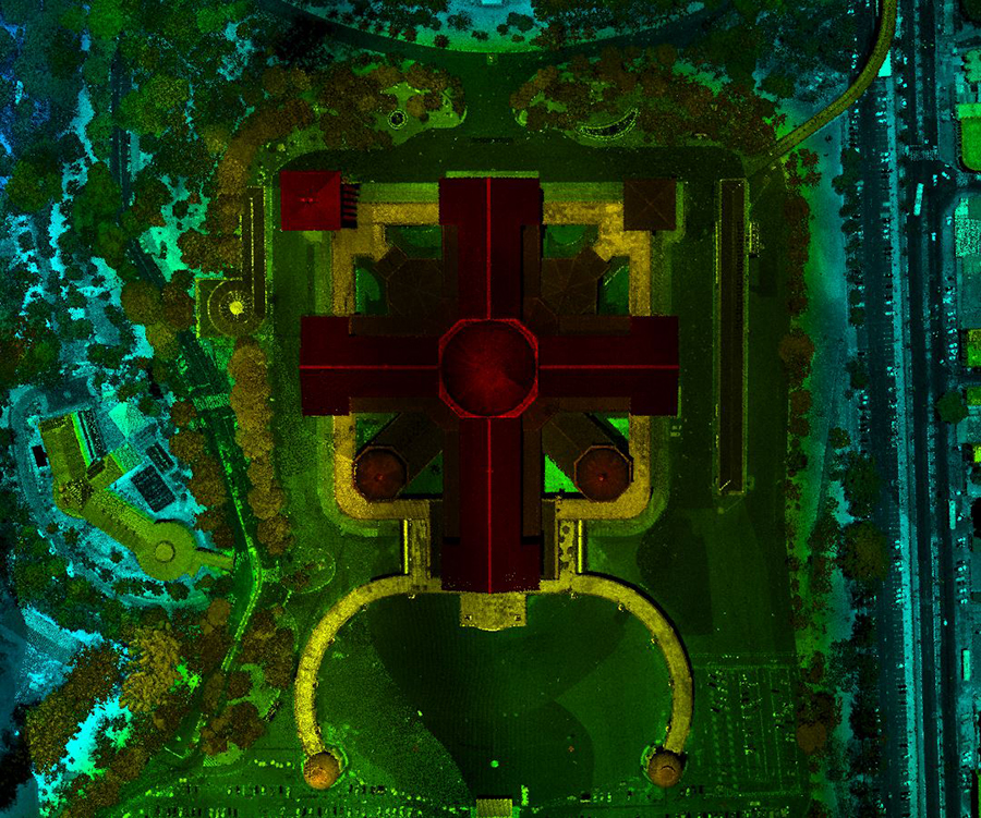
orthographic view Colored Point Cloud (CPC)
Source: LiDAR
Density: 10p/m²
Land Use: urban (aparecida cathedral)
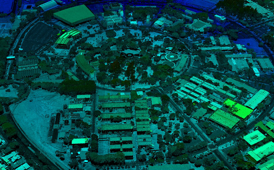
Oblique View Colored Point Cloud (CPC)
Source: LiDAR
Density: 10p/m²
Land Use: urban (Unicamp)
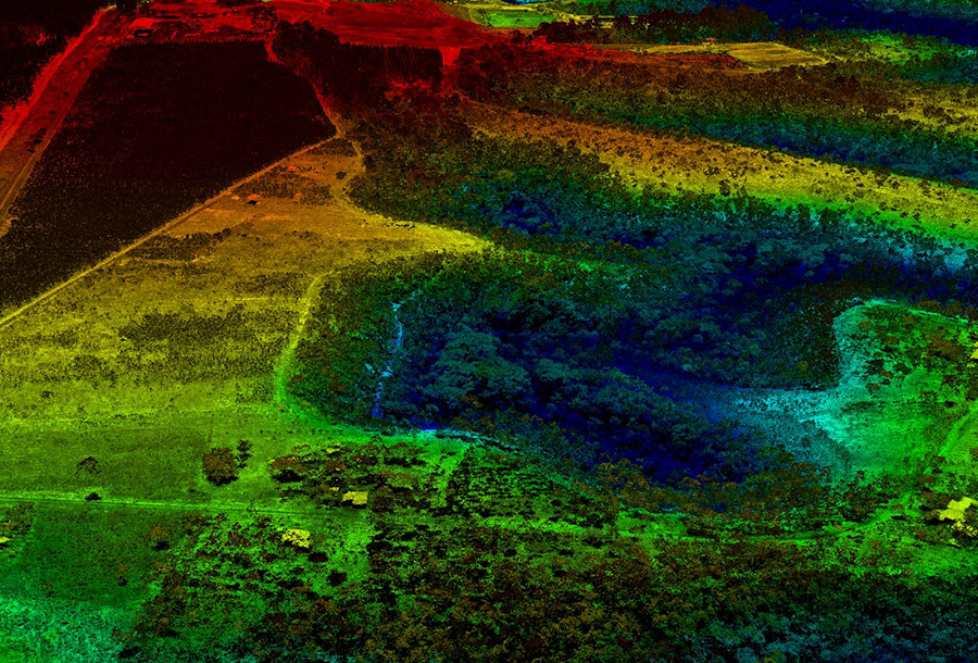
Oblique View Colored Point Cloud (CPC)
Source: LiDAR
Density: 05 p/m²
Land Use: forest
Oblique View Colored Point Cloud (CPC)
Source: LiDAR
Density: 10 p/m²
Land Use: Urban (TL/road)
oblique View Colored Point Cloud (CPC)
Source: LiDAR
Density: 10 p/m²
Land Use: refinar

FOTOTERRA - ALL RIGHTS RESERVED
 |
 |
 |